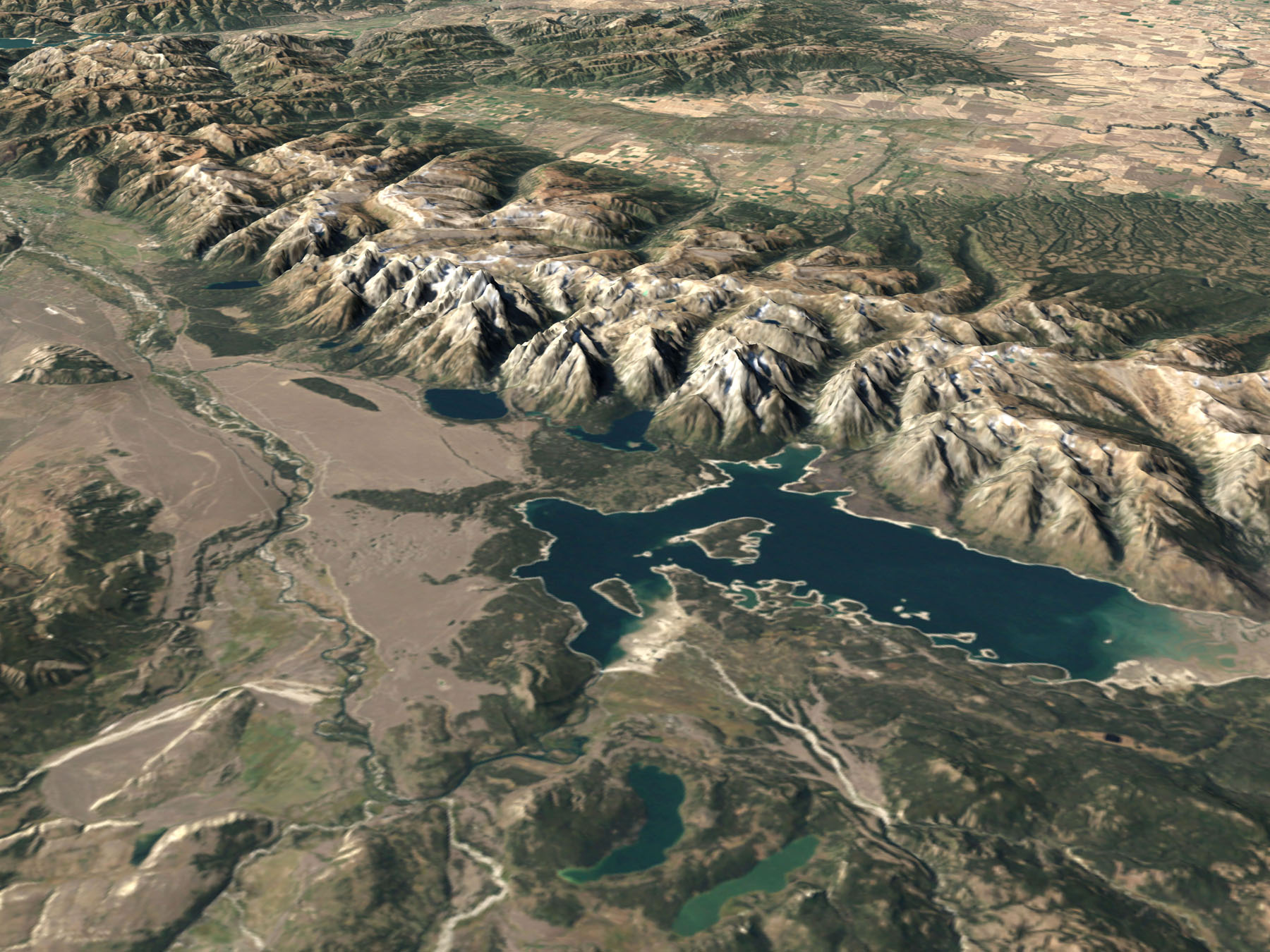
Aerial photo of Grand Teton national park from NASA with “simulated color imagery from the Landsat 7 Enhanced Thematic Mapper Plus ( ETM+) … The elevated intrusion is to proper scale with no vertical exaggeration… simulates the view of the park … from the south and west”
The source is Visible Earth NASA
—————————–
To be able to answer the question: “what is the name of that mountain?”
print yourself a larger, more readable copy of these three profile drawings of the Teton Range with the names of peaks seen from these three views:
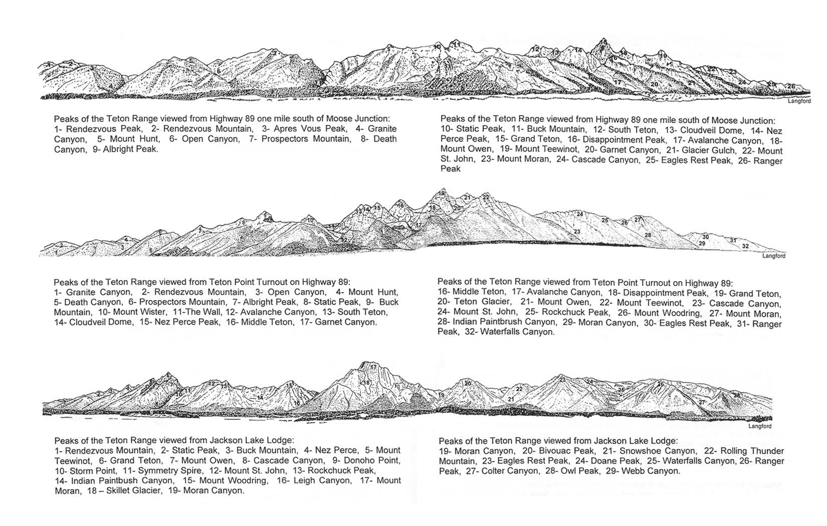
1) Highway 89, one mile south of Moose Junction

2) Teton Point turnout on Highway 89
3) from Jackson Lake Lodge

Teton range peak names has more maps and photos to help identify what peaks you are seeing at different viewpoints in Grand Teton National park.
The author of this webpage, (written for my students), does not give any warranty, expressed or implied, nor assume any legal liability or responsibility for the accuracy, completeness, or usefulness of any information, product, or process included in this website or at websites linked to or from it. Users of information from this website assume all liability arising from such use.