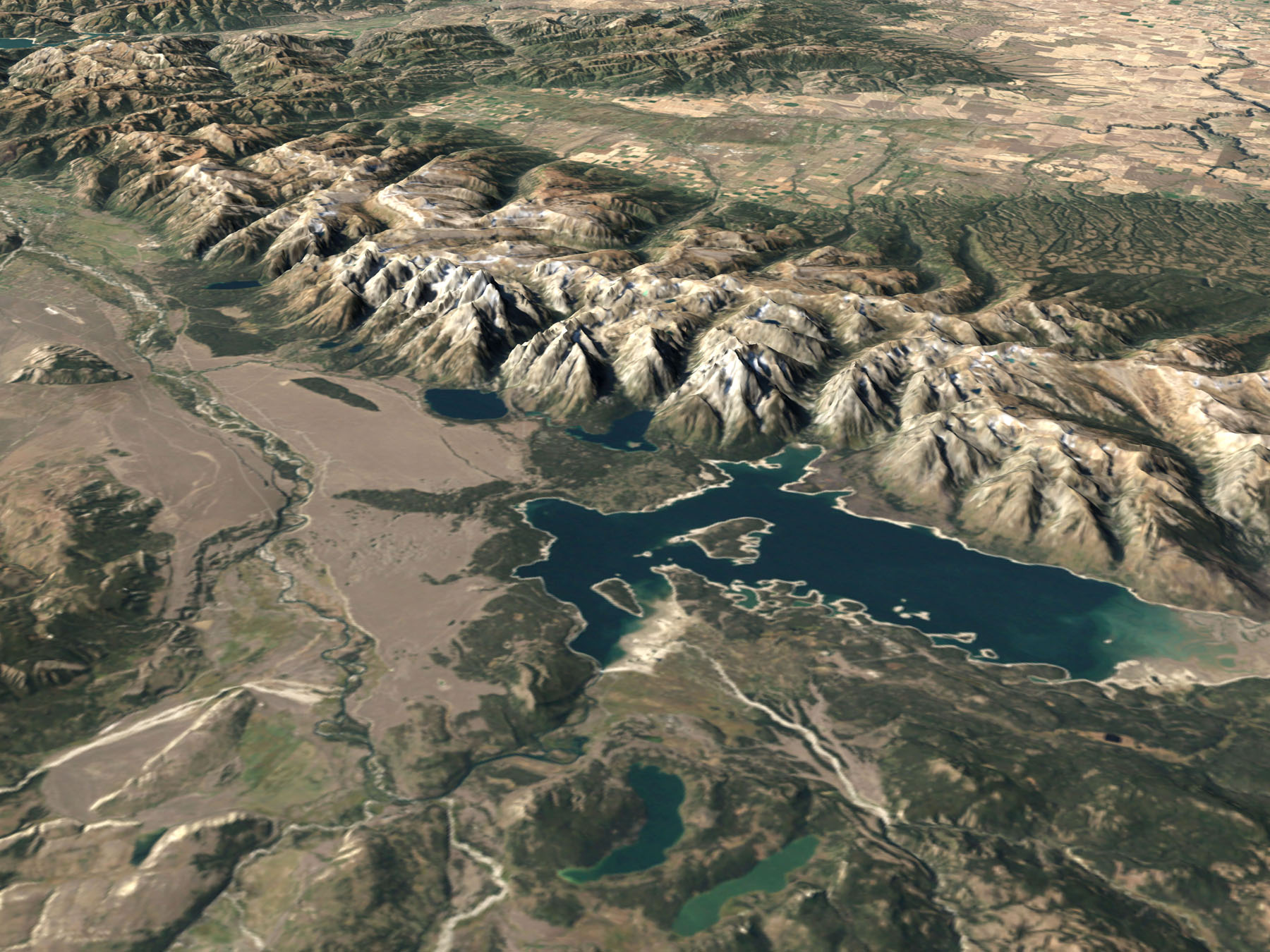
aerial photo of Grand Teton national park from NASA with “simulated color imagery from the Landsat 7 Enhanced Thematic Mapper Plus ( ETM+) … The elevated intrusion is to proper scale with no vertical exaggeration… simulates the view of the park … from the south and west”
A smaller version is at the Grand Tetons page.
The source is http://visibleearth.nasa.gov/
Teton range peak names has maps and photos to help identify what peaks you are seeing at different viewpoints in Grand Teton National park.